Drivers
Your own 4x4
Most freedom
- RoadCamino al Volcán
- Last stretchGravel
- CheckHours and snow
Explore the stops
Discover 29 stops
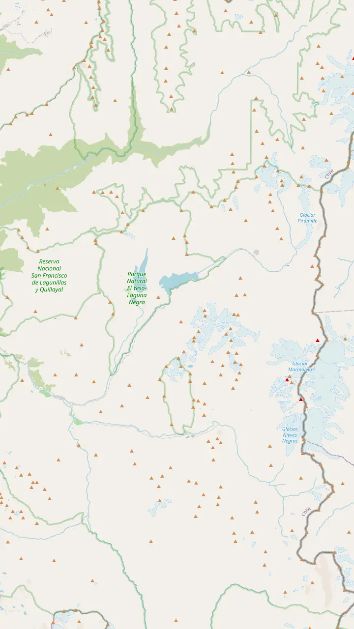
Select a route, then press a pin or stop to read its note and open Google Maps.
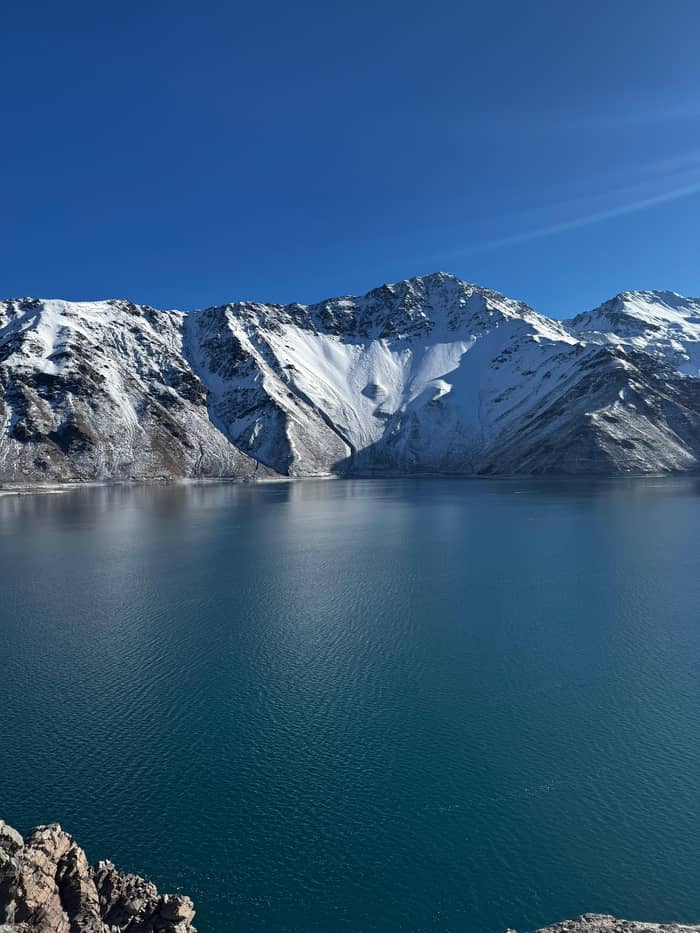
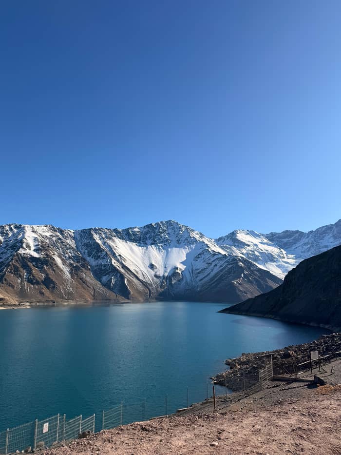
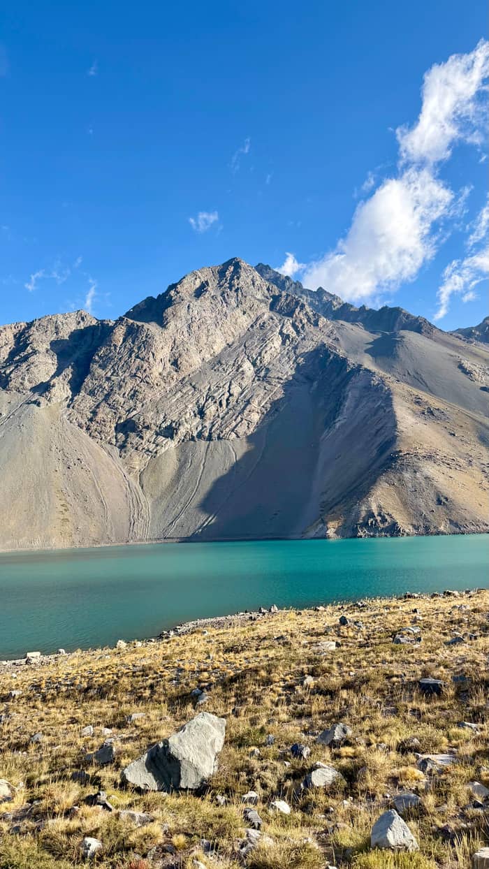
Santiago's main water reserve, a turquoise lake at 2,500 metres.
Google MapsRanger post of the Parque Cordillera area at the reservoir; check the park's opening days first.
Google MapsIts trail opens only with a certified guide or an operator that works with Parque Cordillera.
Google MapsA glacier near the reservoir that has lost much of its mass since the 1990s.
Google MapsThree rustic pools fed by the San José volcano, best from November to April.
Google MapsAn emerald lagoon in a wetland, about an hour's walk away.
Google MapsA village born of cattle farming, quarries and mines, high up the main road.
Google Maps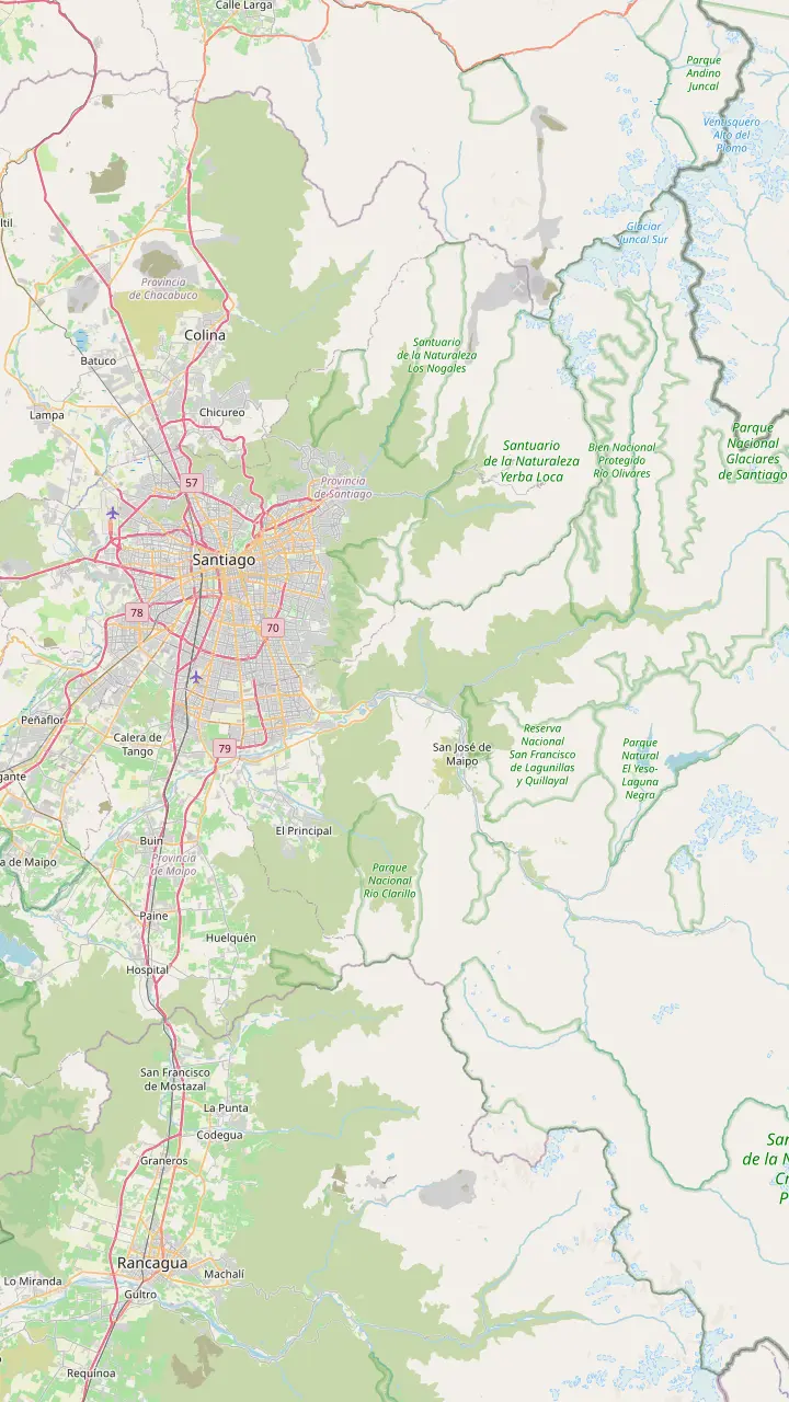
Arrivals land here; the start of the Camino al Volcán is roughly 35 km away by road.
Google MapsThe Metrobus 72 toward Baños Morales leaves this intermodal station in high season.
Google MapsPuente Alto is the town you cross before the road starts to climb into the canyon.
Google MapsThe gateway village from Puente Alto, known for its stonemasons.
Google MapsThe capital of the commune: Plaza de Armas, heritage church and weekend craft stalls.
Google MapsRestaurants with dishes such as cazuela and smoked wild boar, plus local wines.
Google MapsA village born of cattle farming, quarries and mines, high up the main road.
Google MapsRanger post of the Parque Cordillera area at the reservoir; check the park's opening days first.
Google Maps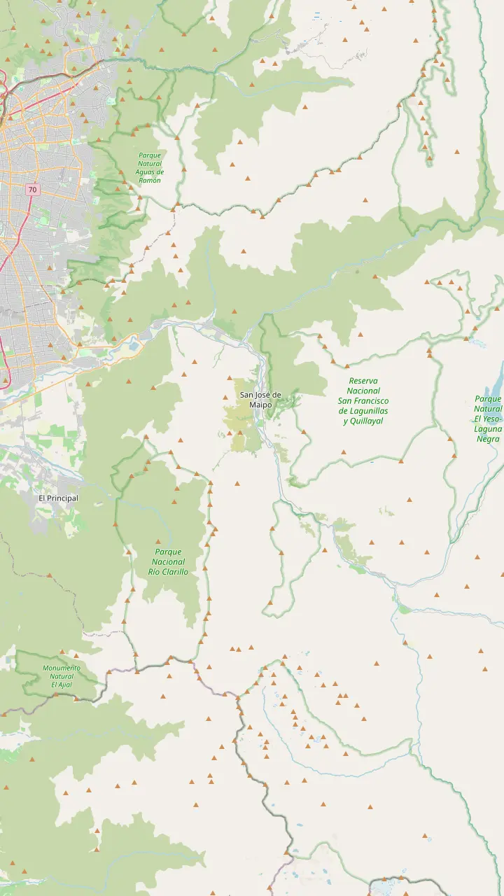
The gateway village from Puente Alto, known for its stonemasons.
Google MapsA small village 30 km from central Santiago, full of summer houses.
Google MapsWhite and red stonework, restaurants and shops line this stretch of the road.
Google MapsLocal craft beer and a sport-climbing crag on Cerro Las Torrecillas.
Google MapsThe capital of the commune: Plaza de Armas, heritage church and weekend craft stalls.
Google MapsA riverside village where rafting and kayak trips set off down the Maipo.
Google MapsRestaurants with dishes such as cazuela and smoked wild boar, plus local wines.
Google MapsThe chocolate house where the site's day tour stops for photos.
Google MapsA nature sanctuary with a short walk to its waterfalls.
Google MapsThe old railway tunnel, a Historic Monument, recommended by the municipality.
Google MapsKnown for the sweets and pastries made in the village.
Google MapsA village born of cattle farming, quarries and mines, high up the main road.
Google Maps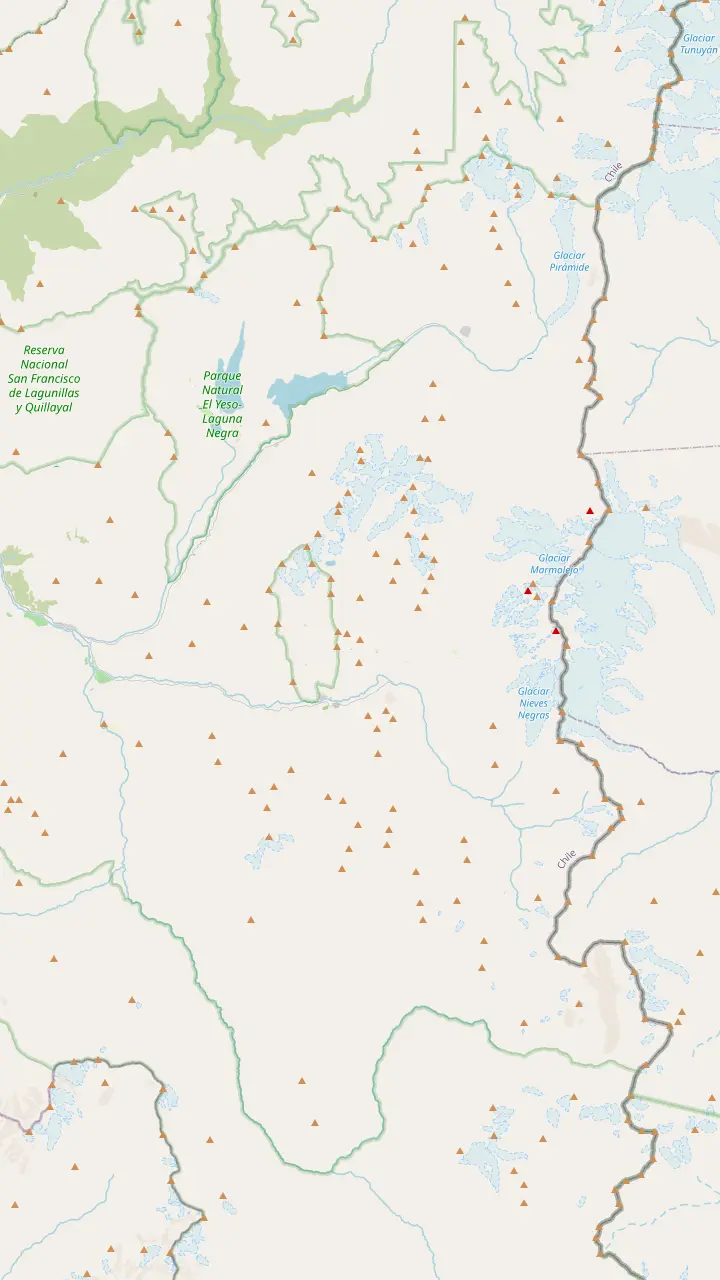
A former mining village where mining tourism is offered.
Google MapsThe village at the entrance of El Morado, with thermal pools and places to eat.
Google MapsThe Valle de la Arena turnoff here starts the trek toward the San Francisco Glacier.
Google MapsBuy entry in advance online; the trail is open only as far as Panimávida.
Google MapsThe glacial lagoon is as far as walkers may go; the glacier itself is off limits.
Google MapsThe peak above the monument reaches 5,060 metres.
Google MapsTerraced natural pools heated by the San José volcano, paid in cash.
Google MapsThe volcano whose heat warms the springs of Colina and El Plomo.
Google MapsMapping data © OpenStreetMap contributors
Working out how to get to Embalse El Yeso comes down to one road, one gravel climb and a few timing rules. Here are the distances, the vehicle you need, the buses that go part of the way and when a guided day saves you the trouble.
Editorial team, cajondelmaipotour.quest · Updated November 11, 2026 · 9 min of reading
Every route to the reservoir follows the same spine. Chile Travel sends drivers from Santiago along Route G-25, the Camino al Volcán, and reckons the trip to the reservoir at roughly 100 km, or around 3 hours behind the wheel.1 The municipality of San Jose de Maipo describes that road as the continuation of Avenida La Florida, so from much of the city you simply keep driving southeast until the houses thin out.4
The way out of the city runs through Puente Alto, where the Camino al Volcán begins its climb into the canyon.5 Past the first villages the valley narrows, the river appears below the road and the scenery changes fast. San Jose de Maipo, the main town and the last place with a full set of shops, is 45 km and about 1 hour from Santiago in the tourism board's figures.6 It is the natural place for a break, a bathroom stop and a last look at a cash machine.
Beyond the town the road keeps following the Maipo upstream through San Alfonso and San Gabriel before the turn toward the reservoir. Time estimates vary: a canyon itinerary from the same tourism board puts the drive to the reservoir at about two hours, while the attraction page says about 3 hours.7,1 The longer figure is the safer one to plan with, once you add traffic leaving Santiago and a stop for coffee.
Compare the options
| Option | Reaches the lake | Good for | Watch out |
|---|---|---|---|
| Own 4x4 | Yes, by the gravel road2 | Independent travelers | Winter closures11 |
| Bus or colectivo | San Jose de Maipo only3 | Budget day in the villages | Last bus 8:00 PM or 9:00 PM16 |
| Metrobus 72 | Main valley, high season17 | Baños Morales and El Morado | Seasonal service |
| Guided day | Yes, 70 minutes at the dam | First-time visitors | Fixed program |
Times and services as Chile Travel, CONAF and the listing give them; winter weather can change everything on the upper road.
Going to Embalse El Yeso by car gives you freedom, but the final climb sets the rules. The tourism board calls the final climb a mountain gravel track on which a 4x4 is essential.2 Another of its pages is a little softer and recommends a high-clearance or 4x4 vehicle for the dirt and gravel sections near the hot springs and the high mountain areas.9 Either way, a small city car is the wrong tool for this road.
Check before you leave. Chile Travel asks drivers to verify the access hours and the winter closure due to snow, and reminds them that the high road may be closed in winter.10,11 For conditions further up the valley, CONAF points travelers to the Carabineros post at San Gabriel, which answers questions about the weather and the state of the route.12 A quick call or a look at the park's ticket page the evening before can save you a wasted climb.
Fill the tank in the lower valley and carry food and water. The tourism board's advice for the remote upper canyon is to bring water, food and enough fuel in the vehicle.13 Drive slowly on the gravel, give way to buses and trucks on the bends, and stop only in wide spots where other cars can pass. Dust and loose stones make the descent as demanding as the climb, so leave time for both.
Going from Santiago to Embalse El Yeso without a car is only partly possible. Chile Travel says San Jose de Maipo can be reached by public bus or private vehicle.3 Another of its pages adds that a bus or a colectivo, a shared taxi, leaves from the Las Mercedes Metro station.19 Those services cover the lower valley and the main town, which is where most independent visitors base themselves.
Higher up, public transport becomes seasonal. CONAF lists the Metrobus 72 from the Bellavista de la Florida intermodal station on Metro line 5, running in high season from 7.30 toward Baños Morales and El Morado.17 That line follows the main valley, not the side road to the reservoir, and the tourism board's own page for the lake mentions only the road and recommends a specialized tour.18
Watch the clock on the way back. Chile Travel notes that the last buses to the capital leave between 8:00 PM and 9:00 PM.16 If you miss the last one, you are looking at a long and expensive taxi ride, so plan your day backwards from that departure and keep a margin for a late colectivo or a slow queue. For most visitors without a car, a guided day with pickup is the practical way to stand at the dam and still be back in the city for dinner.
Pick your transport
Answer by the trip you are planning.
If I have no car and want the lake
The guided day
Chile Travel recommends a specialized tour for the reservoir.18
If I want the villages on a budget
Bus or colectivo
They run from Las Mercedes Metro to the canyon.19
If I have a high-clearance 4x4
Drive yourself
The gravel needs it; check hours and snow closures first.2,10
If I also want hot springs
A lake and springs day
One tour adds Termas Valle de Colina in summer.
If I land in Santiago today
Wait a day
The canyon road starts about 35 km from the airport.20
Ways to travel
Drivers
Most freedom
Budget
Lower valley only
Easiest
Pickup included
Santiago's airport lies west of the city center, while the canyon opens to the southeast. Chile Travel gives the distance from the airport to the start of Route G-25 as about 35 km, before the mountain road even begins.20 Landing in the morning and driving straight up to the reservoir makes for a very long day, especially after an overnight flight. You would be driving an unfamiliar gravel road tired, at altitude, with the light already turning by the time you head back down.
A calmer plan is to spend your first night in Santiago and take the canyon trip the next morning. Day tours collect you in the city, so you do not need to handle a rental car on the gravel at all. The featured day on this site includes pickup in the Santiago Metropolitan Region and drops you back at the same place. That way the first full day of your trip is spent looking at the mountains rather than at a map, and the guide handles the timing at the park.
If you do rent a car at the airport, choose a 4x4 or high-clearance vehicle, as the tourism board advises for the gravel sections, and ask the rental company whether their insurance covers unpaved mountain roads.9 Rental contracts can treat gravel differently from asphalt, and that matters on a road like this. In winter, ask also about chains: Chile Travel says tire chains or 4x4 traction are required on the road to El Morado in that season.53
Skip the driving
Compare days that collect you in Santiago.
Compare 3 side by side
Compare days that collect you in Santiago.
≈
View≈
View≈
ViewCurrency conversion uses the ECB reference rate on GetYourGuide from-prices. The exact price is displayed when you book.
Door to dam
Leaving the city
The Camino al Volcán continues this avenue.4
Lower canyon
The climb into the valley begins.5
Main town
45 km and about 1 hour from Santiago.6
Upper valley
A 4x4 is essential on the last stretch.2
Arrival
Morning and afternoon slots when open.8
Reaching the lake is only half the question; being allowed in is the other. The park at the dam, managed by Parque Cordillera's municipal association, sells entry for two blocks, 8:00 to 12:30 or 14:00 to 17:30.8 When we checked its ticket page in November 2026 it read closed for the winter season, a status that changes with the weather.55 Book the slot before you start the engine, not when you reach the barrier, because a long drive to a closed gate is an easy way to lose a whole day.
When we last read the park page, its trial opening let walkers onto the path along the dam crest and nowhere else.56 The Laguna Negra trail needs a certified guide or a tour operator that has a direct agreement with Parque Cordillera.37 Outside the park, Chile Travel says the shore is restricted to the public, so the lake is observed from the main road.57 Even without a park ticket you can still enjoy the view from the road, but you will not walk the wall.
Timing your drive around these rules avoids a wasted trip. Arrive early in a morning slot, when the light is good and the road is quieter, and keep the afternoon for the villages on the way down. An early start also keeps you clear of the dust thrown up by the tour vans that arrive later. If the road is closed for snow, the lower canyon still has plenty to offer, from the plaza in San Jose de Maipo to the waterfalls at Cascada de las Ánimas.32
Video
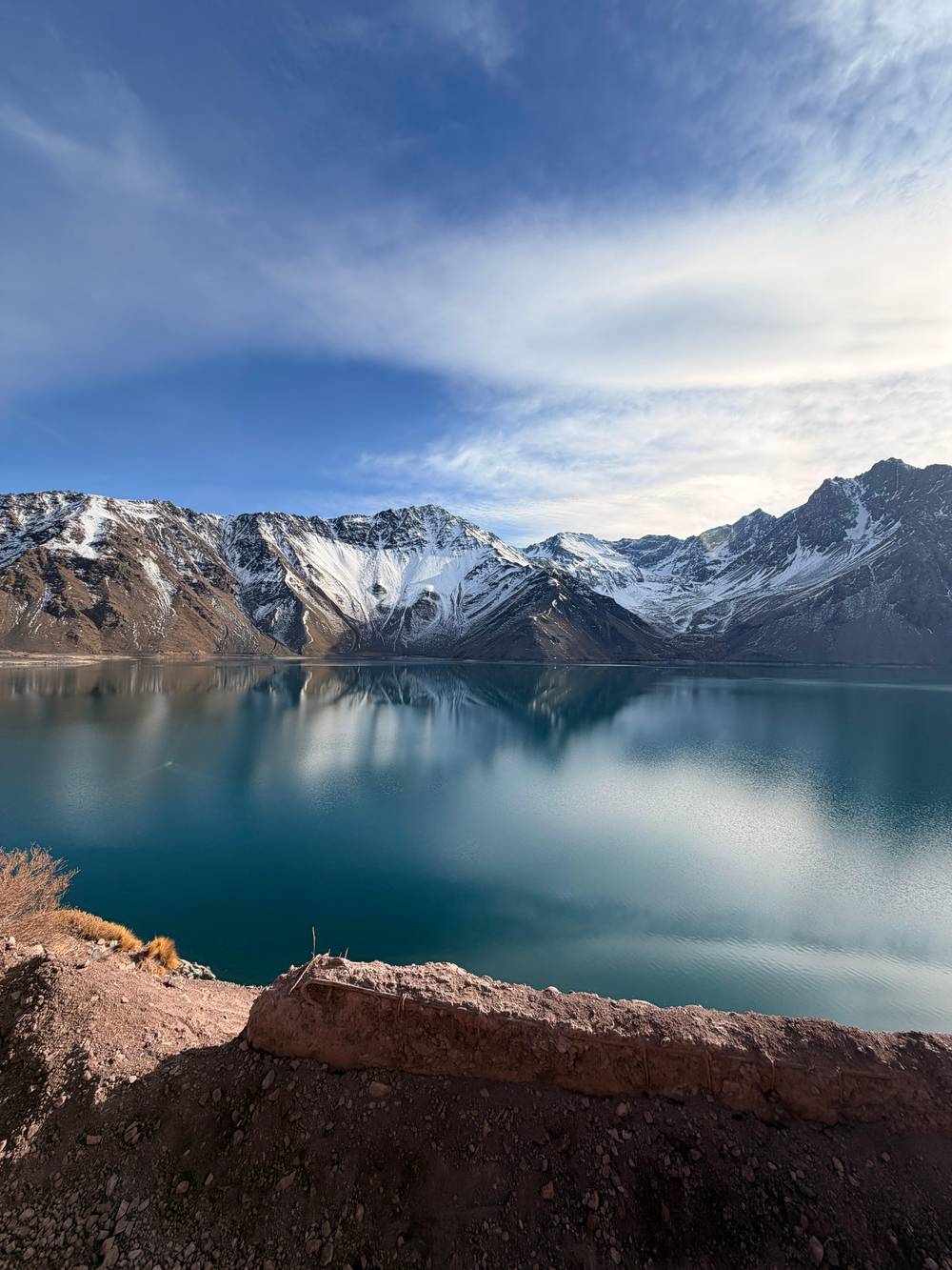
polskitraveller on YouTube · Video data is requested only when you tap play.
From Santiago, Route G-25 (Camino al Volcán) takes you to the reservoir. The journey is about 100 km and lasts about 3 hours.
Before you set off
The drive is long enough to break into pieces, and the villages along the road are worth more than a glance through the window. La Obra, at the canyon's entrance, is known for its stonemasons, and El Canelo lines the road with work in white and red stone, restaurants and shops.22,24 In San Jose de Maipo the tourism board recommends breakfast and a look at the historic Plaza de Armas.58
Further up, Cascada de las Ánimas is a nature sanctuary where a 25-minute walk leads to waterfalls.32 The Tinoco tunnel near San Alfonso is an old railway tunnel that the municipality lists as a Historic Monument and recommends visiting.31 On the way back down, El Ingenio is the place for the sweets and pastries made in the village.33 Each stop is short, so you can pick two or three without stretching the day.
Plan the stops around the light. Go straight up in the morning while the reservoir is sunlit and the road is quieter, and save the villages for the afternoon. That way a closure or a long queue at the park costs you less, and you still finish the day with food, a stroll and something sweet before the drive back into the city. Keep some daylight in hand for the gravel descent, which is easier to judge before dusk.
Drive yourself if you are comfortable on gravel, have a suitable vehicle and want to linger at the lake or continue toward Baños Morales and El Morado. You gain freedom and lose the stress of a fixed schedule, but you take on the road, the fuel, the parking and the winter rules yourself. This option suits experienced drivers, small groups who can share the cost of a capable car, and photographers who want to wait for the right light.
Take the bus if you are happy to see the lower canyon only. San Jose de Maipo, the plaza and the riverside villages are all reachable without a car, and they make a pleasant day on their own, with cafés, craft stalls, the river and short walks within easy reach of the bus stops. The reservoir is another matter: for that trip the tourism board recommends a specialized tour.18
Join a guided day if the reservoir is the goal and you have no 4x4, or if you simply prefer to watch the scenery instead of the road. The featured tour lasts 10 hours with pickup, spends 70 minutes at El Yeso Dam and adds cheese, chocolate and a picnic, from $42. A day that adds the hot springs at Termas Valle de Colina costs from $85 and lasts 10.5 hours. Either way, you trade some freedom for a seat by the window.
FAQ
Roughly 100 km, which Chile Travel reckons at about 3 hours of driving on Route G-25.1
It calls a 4x4 essential on the final gravel stretch.2
Chile Travel gives those as the last return times from the canyon.16
The high mountain road may close because of snow, so check before you go.11
CONAF lists their post for weather and route questions.12
Sources
Up next
Planning a day in the Andes from Santiago? Ask a real person.